
Rogers ZIP Directory Coverage
Three ZIP codes use Rogers as a postal name, but they do not form three equal residential districts. Codes 72756 and 72758 support standard street delivery. The first generally reaches downtown, north and east Rogers, with routes toward Beaver Lake and unincorporated Benton County. The second generally serves south and west Rogers, including Pinnacle-area routes. Code 72757 is different. It serves post office boxes and has no residential delivery polygon.
| ZIP | Rogers areas served | Postal point | Search caution |
|---|---|---|---|
| 72756 | Downtown, north and east; routes toward Beaver Lake | Rogers Post Office, 401 N 8th St | Postal area extends beyond Rogers city limits |
| 72758 | South, west and Pinnacle-area routes | Rogers delivery network | Crosses municipal boundaries |
| 72757 | Post office boxes only | Rogers Post Office boxes | Not a residential district or Census ZCTA |
This Rogers ZIP code directory therefore starts with delivery type, not a guessed neighborhood. A mailing label can say Rogers even when the parcel is outside the city. Conversely, a boundary question cannot be settled by seeing 72756 or 72758 on an envelope. The exact street address remains the key.
The Benton County GIS Tools gallery identifies the county's ZIP-area and property resources.
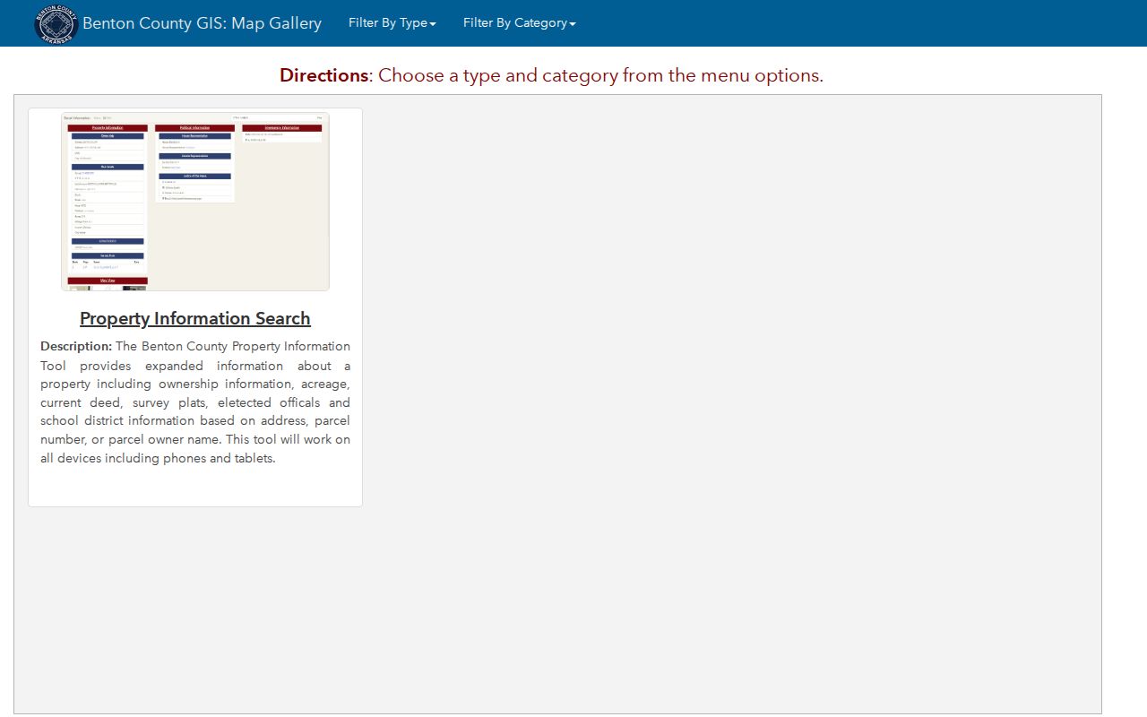
The gallery is useful for choosing a map, while a parcel or city-limit layer must resolve the legal location of a specific address.
Rogers ZIP 72757 Is Different
The most important quirk is easy to miss. ZIP 72757 is for Rogers post office boxes. It has no neighborhood population and no Census ZIP Code Tabulation Area, often shortened to ZCTA. A box holder may live in 72756, 72758, another city, or an unincorporated place. Searching for nearby residents from the box code would create a false geographic link.
Use 72757 as a mailing clue only. A parcel roll may show it as an owner's correspondence address, but that does not move the land into a 72757 residential zone. The physical, or situs, address on the parcel card is the better lead for land. The holder's actual residence still requires a lawful, separate source.
Key distinction. A Rogers post office box receives mail; it does not identify a home, block, voting precinct, or city-limit location.
Official Rogers Post Office details show the service point and its box access information.
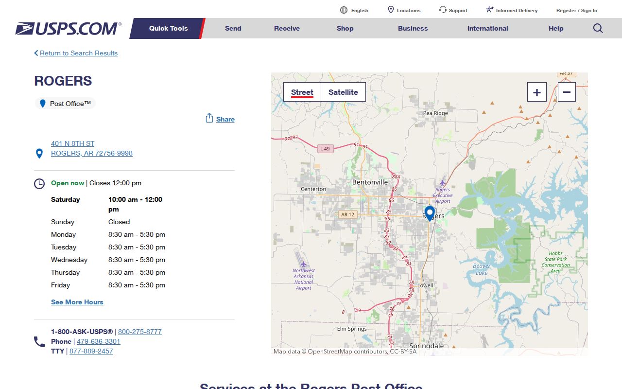
The post office record confirms the facility. It does not turn a box-only ZIP into a map of Rogers residents.
Find Rogers Residents by ZIP
No official portal in the research was verified to return every Rogers parcel or resident through one ZIP-wide filter. The safe method is a narrowing workflow. USPS confirms the postal code. County GIS then resolves an address and parcel. The assessor record can identify a named owner and keep the situs address separate from the owner's mailing address. Arkansas voter access uses VoterView for a person's own verification or a formal data request, not an open street browse.
- Enter the complete street address in the official USPS lookup. Keep the returned delivery code instead of relying on a third-party list.
- Open Benton County GIS and locate that address. Check the parcel, nearby municipal boundary, and any ZIP-area layer that is available.
- Use the Benton County Assessor record to compare situs, owner name, mailing address, parcel number, and legal description.
- For a broad voter-data need, follow the Arkansas Secretary of State request process. Do not treat VoterView as a ZIP directory.
- Once the search reaches a road, use the Rogers street directory process for address-level work.
This sequence prevents a ZIP code directory from overstating what a code proves. It also records a clear path from postal fact to land record without assuming that an owner, voter, or mail recipient represents every occupant.
Verify Rogers ZIP Codes First
The USPS ZIP Code Lookup is the right first stop for a complete Rogers mailing address. The Postal Service also maintains its Find ZIP Codes gateway for official routing tools. City-and-state results can show codes associated with the postal name, while an exact-address lookup determines the delivery code for one location. That difference matters along fringe routes and wherever the city line cuts across the postal area.
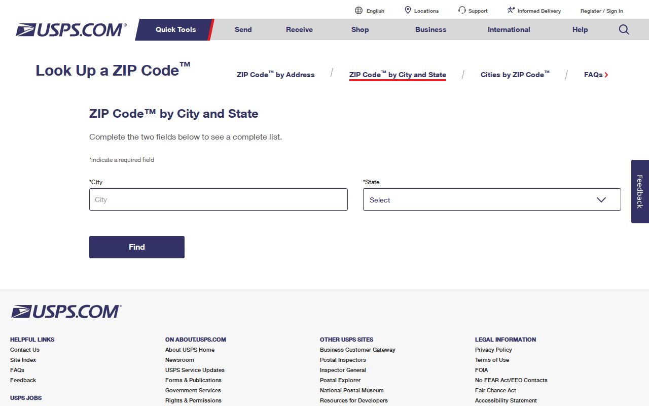
The form verifies mail routing. Follow it with a county parcel check whenever the question concerns ownership, taxation, annexation, voting jurisdiction, or Rogers municipal services.
Do not infer a resident list from a city-and-state result. Postal codes route mail efficiently, but they were not designed as public-record search districts. An address can also carry ZIP+4, a more exact delivery segment, without changing its base ZIP or civil jurisdiction.
Note: Record the full standardized address returned by USPS because spelling, directionals, and unit numbers can change the parcel-search result.
Rogers ZIPs and Census Areas
The Census Bureau creates ZCTAs to approximate the dominant ZIP code across census blocks. Rogers has ZCTAs for 72756 and 72758, but not for box-only 72757. ZCTAs help with area statistics. They are not official USPS delivery boundaries and should not be used as proof that a specific house lies inside Rogers.
The Census explanation of ZCTAs shows why statistical areas and postal routes differ.
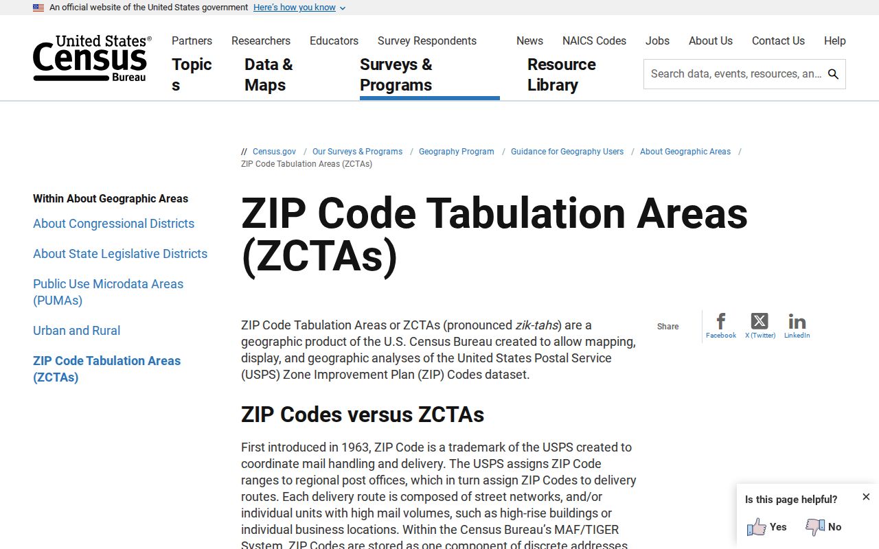
That distinction keeps 72757 out of population comparisons and prevents ZCTA edges from being presented as USPS lines.
The Census QuickFacts profile for Rogers reports city statistics against a municipal geography.
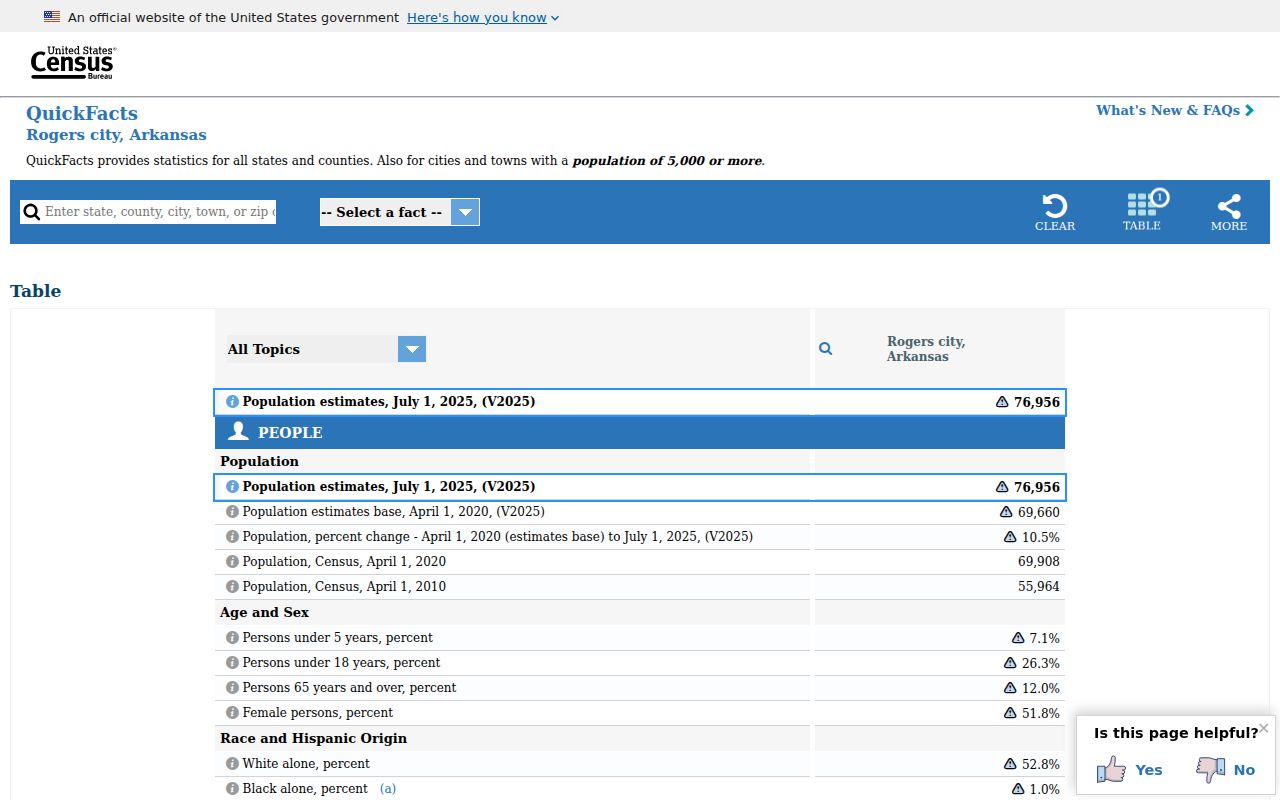
QuickFacts describes Rogers city, not all addresses carrying a Rogers postal name. Keep those populations separate.
Rogers ZIPs Cross City Lines
City annexation follows contiguous parcels and legal descriptions. It does not follow ZIP codes. Rogers asks for an accurate survey or the last deed's legal description during annexation review, and the process can take months. County and city GIS layers, including parcels, cities, neighboring cities, roads, subdivisions, flood areas, and historic districts, provide the better jurisdiction test.
A 2017 and 2018 dispute shows why. Three parcels east of Highway 112 were tied to Rogers election timing but had petitioned into Cave Springs. A Rogers resolution sought to clarify residency. The postal label alone could not answer which municipality governed those parcels.
Consult the city's annexation information and the deed's legal description when a fringe address affects city services or civic status. This geographic rule is one of the most useful parts of the Rogers ZIP code directory.
Read Rogers Address Fields
Several address fields may appear beside the same parcel. They answer different questions, so a careful ZIP search keeps each in its own column. The county parcel record can pair a physical site with an owner who receives mail elsewhere. The legal description then supplies continuity if a street label or mailing convention changes.
- Postal ZIP
- A USPS routing code attached to delivery, not a municipal boundary.
- ZIP+4
- The base five digits plus a delivery segment for a smaller group of addresses.
- PO-box ZIP
- A code such as 72757 that serves boxes rather than a mapped residential district.
- Carrier route
- A postal delivery path that may cross civic or statistical lines.
- Situs address
- The physical location of land in the assessor and GIS records.
- Legal description
- The lot, block, subdivision, or metes-and-bounds wording that identifies land.
These definitions also explain why an owner's mailing ZIP is weak evidence of occupancy. The named owner might live on the parcel, receive mail at a box, or use another correspondence point.
Rogers ZIP Search Channels
The Rogers postal directory works best as a routing aid across custodians. USPS handles address standardization. Benton County GIS maps the parcel and nearby boundaries. The Assessor holds the working real-estate roll. The Secretary of State handles statewide voter-data requests, while VoterView remains an identity-gated self-check.
| Channel | Input | Useful result | Limit |
|---|---|---|---|
| USPS lookup | Street, city, state | Standard mailing code | No ownership or city-limit proof |
| Benton GIS | Address, parcel, owner | Mapped parcel and layers | No verified ZIP-wide resident export |
| Assessor portal | Owner, address, parcel | Situs, mailing, deed reference | Owner is not necessarily occupant |
| Voter data request | Formal scope and requester fields | Lawfully released registration data | Protected data excluded |
The statewide voter request offers registration, vote-history participation, or a combined product. Its form asks for requester details, delivery information, scope, format, certification, signature, and date. A fulfilled registration file may include county, residence or mailing address, precinct, and districts, but protected information stays out. That channel is broader than a ZIP search and must be narrowed responsibly after delivery.
If an online map fails, contact Benton County GIS through its department hub for address verification. Assessor research can also continue through the Rogers county branch at 2109 W Walnut. Those are the documented fallbacks; an unverified portal feature should not be invented.
Rogers ZIP Boundaries Explained
A five-digit code can narrow a search, but it cannot establish who lives at one address. Parcel records name owners. Voter records cover registered voters under their own rules. A box code points to mail service. City GIS tests the municipal line. None of these sources is a complete household directory.
The sound conclusion is narrow: 72756 and 72758 describe standard Rogers delivery areas, 72757 serves boxes, and exact addresses need separate postal and jurisdiction checks. Use dated search notes because parcel ownership and annexation status can change. Do not publish protected addresses or use a ZIP-based search to watch, intimidate, or harass anyone.
Boundary caution. A Rogers mailing label is not proof of Rogers residency; verify the parcel, legal description, and current city boundary.