
Rogers Neighbor Record Layers
A defensible block lookup assigns one task to each official source. Benton County GIS shows parcel shapes and which lots touch. The Assessor adds ownership, homestead clues, transfers, and building facts. Plats supply lot and subdivision structure. Permits date work at an address. Voter information has a formal state access path, while VoterView is only an identity-gated self-check.
| Source | What it can show about a Rogers block | Access |
|---|---|---|
| Benton parcel GIS | Adjacent parcels, geometry, situs, owner, legal description, value, year built | Free informational viewer and map layers |
| Assessor cards | Owner, separate mailing address, homestead clue, transfer and building data | Public portal or county office |
| Plats and subdivisions | Lot, block, subdivision, alleys, common areas | GIS layers and Recorder records |
| Permit records | Project, applicant, contractor, date, PIN, value and status | Guest portal, archive, or narrow records request |
| Released voter data | Registered addresses and districts in the fulfilled product | Formal Secretary of State request |
| Reverse directory | Historical address-to-listed-householder link | 1996 verified; museum and catalog volumes |
Ownership and occupancy are not synonyms. A parcel may be owner-occupied, leased, held by a trust, owned by a company, or used as common land. Record the role shown and stop short of naming an unverified occupant.
The Benton County General Map Gallery routes users to countywide map layers.
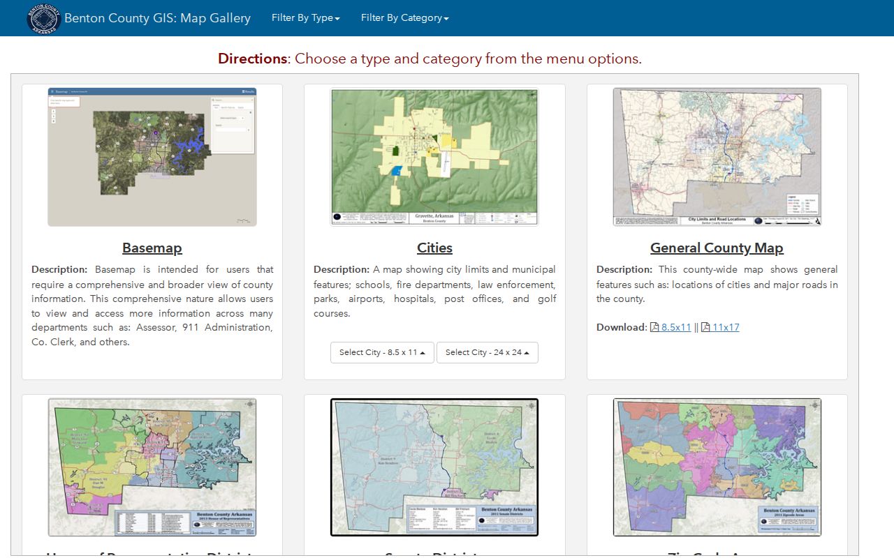
The gallery helps choose a city, boundary, or parcel context. The parcel application remains the source for a lot-by-lot inventory.
Map Rogers Neighbors Parcel by Parcel
The county basemap has Basic, Parcel, Plat, Advanced, and Spatial Search modes. It also provides Draw, Layers, Measure, Print, Query, and Identify controls. No verified one-click radius or buffer tool was found. Build the block by clicking adjoining polygons one at a time.
- Search the target situs address and select the correct mapped result.
- Use Spatial Search, choose Parcels under “Select Features In,” and apply “Intersect By” to the located feature when that path fits the view.
- Move clockwise through only directly adjoining parcels. Record parcel ID, situs, owner name, mailing city, and legal description separately.
- Open each parcel card. Check the homestead clue and owner mailing address without treating either as a household roster.
- Use the plat to decide whether an alley, road, or common parcel changes which lots belong to the same block.
This process creates a reviewable block list. For every parcel along a named road, move to the broader Rogers street directory workflow rather than expanding a neighbor lookup past its block angle.
Read Rogers Parcel Evidence
The county ArcGIS parcel schema exposes fields such as parcel and property IDs, owner name and address, situs address, geographic ID, legal description, document number, image or sketch links, values, acreage, year built, primary use, neighborhood code, and exemption types. These fields can support a map-based block inventory without guessing from a commercial directory.
The Benton County parcel layer schema documents what the mapped dataset can hold.
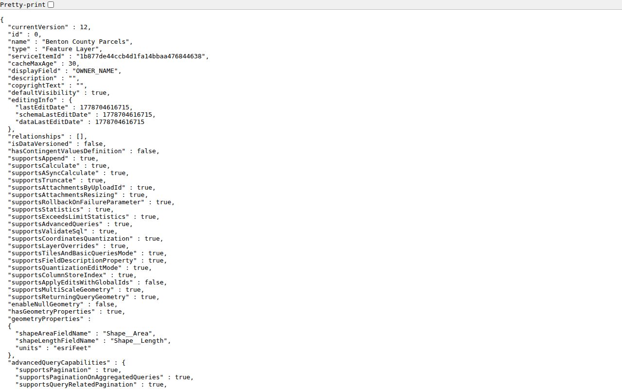
The schema explains the data structure. It is not a legal survey and does not establish that the owner lives at the situs address.
- Situs address
- The physical location assigned to the parcel.
- Owner mailing address
- The correspondence point, which may be a box or another city.
- Homestead clue
- An exemption field that may support primary occupancy but does not list the household.
- Parcel
- A mapped unit of land tied to a county database key.
- Plat
- A recorded drawing of lots, blocks, streets, and related boundaries.
Compare Rogers Neighbor Addresses
Place the situs and owner mailing address side by side for each nearby parcel. A match can support an occupancy clue. A difference may point to an owner receiving mail elsewhere. Neither result identifies all people at the address, and a correspondence address should not be recast as a home.
If a trust or company appears as owner, search the entity only to understand the recorded ownership. An agent's address or name does not make that person the Rogers resident. City-owned land, utility parcels, and homeowners-association common land also need labels that reflect the owner shown.
Keep the search date. Owner, mailing, value, and exemption fields can change. Saving a readable map view with parcel outlines and notes is more reliable than copying a screen label with no context.
Note: Mailing-versus-situs comparison is a clue about ownership administration, not a public list of everyone who lives on the block.
Rogers Community Directory Limits
No verified official citywide neighborhood-association or member directory was found for Rogers. The city page called Neighborhood Services is the Code Enforcement and Neighborhood Services function, not a roster of associations or residents. City GIS “Neighborhoods” are planning place types, not civic groups.
The Rogers Neighborhood Services page explains the municipal service channel.
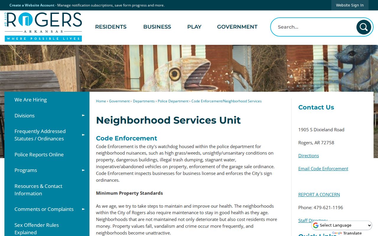
The page can route code and neighborhood-service concerns, but it cannot identify local residents or supply private membership details.
| Community channel | Verified role | Directory status |
|---|---|---|
| Rogers Neighborhood Services | Code enforcement and neighborhood services | Not a resident or association roster |
| City GIS neighborhood layer | Planning place types | Not civic membership |
| Rogers Historical Museum | Files on churches, schools, organizations, houses, and roads | Research by appointment; do not infer membership |
| Private HOA or civic group | May serve its own members | No official citywide inventory verified |
HOA lists, congregation lists, block-watch rosters, and household contact sheets remain private unless the group voluntarily publishes them for a legitimate civic purpose. Do not invent an association or claim access the research did not verify.
Rogers Neighbors and Voter Data
VoterView cannot browse a Rogers block. It is a one-voter status and polling-place tool that asks for identifying information. The Arkansas voter-registration information routes people to the official self-check and registration forms. A full statewide file follows a separate Secretary of State request. Products include registration data, vote-history participation, or a combined file. Participation shows only that a person voted in an election, never the ballot choice.
The request form describes fields that can include voter ID, county, name, residential or mailing address, precinct, districts, and last-voted date in the fulfilled product. Protected addresses and legally restricted identifiers remain excluded. The form is sent to Voter Services in Little Rock or through the listed state contact route.
Benton County Clerk is the county voter registrar, with a Rogers branch at 2111 W Walnut. Historical voter and poll material may be requested from County Archives, though no year run is published. Inactive or no-match status does not prove that a person moved away.
Voter-data limit. Use only lawfully released fields, never infer a ballot choice, and never try to identify an address protected by Arkansas law.
Rogers Blocks Across Boundaries
Blocks near the edge of Rogers need a city-boundary check. Postal names and ZIP codes do not decide municipal jurisdiction. Annexation follows contiguous parcels and legal descriptions, and the Rogers application calls for an accurate survey or the last deed's legal description.
The Rogers annexation information sets out that parcel-based process.
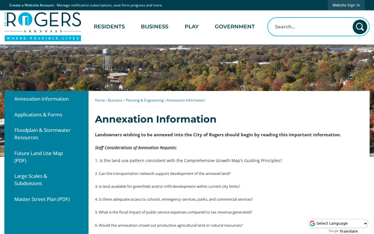
The annexation channel helps confirm whether adjoining land shares the same municipality. It does not identify occupants.
A 2017 and 2018 case involving three parcels east of Highway 112 illustrates the point. Those parcels were connected to Rogers election timing but had petitioned into Cave Springs, and a city resolution sought to clarify residency. The correct evidence was the parcel and legal boundary record, not the Rogers mailing label.
Verify Rogers Neighbors Officially
Commercial neighbor tools blend public and commercial data. They may merge names, preserve an old address, or hide the source behind a fee. Official sources are narrower but easier to audit. A parcel card can be checked against the map, a plat against the Recorder, and a permit against the city archive. The Benton County jail roster answers only a current-custody question and must never be treated as a Rogers neighbor directory.
| Question | Official record path | Commercial category risk |
|---|---|---|
| Who owns the next lot? | GIS parcel and Assessor card | May show an old or merged person |
| Does the mailing address match? | Assessor situs and owner-mail fields | May blur correspondence and residence |
| Where does the block end? | Plat, roads, alleys, common areas | Often lacks legal parcel context |
| Was work permitted? | City portal, archive, or records request | May repeat uncited data |
Use the smallest record set that answers the question. A current owner lookup does not justify collecting a broad resident profile, and an association contact need does not justify seeking a private member roster.
Protect Rogers Neighbors' Privacy
Public parcel records leave major layers private. They do not list renters, every household member, utility customers, delivery records, congregation members, block-watch rosters, or protected people. Driver and vehicle address data is restricted by federal law. The Arkansas Address Confidentiality Program supplies eligible survivors a substitute address that must not be reverse-engineered.
A parcel map is informational and not a legal survey. Homestead is a useful clue but does not identify every occupant. A voter file excludes protected information and does not include unregistered people. Permits date work, not residency. These limits should remain visible in any block notes.
Lawful use. Look up nearby people for civic contact, property curiosity, or personal safety, never to watch, threaten, intimidate, or harass anyone.
Build only what can be defended: parcel ID, situs, recorded owner, separate mailing city, legal description, source, and search date. Do not publish a guessed occupant. That restrained method is both more accurate and more respectful of the people who share the block.